Snowpack Update 12/3/22
Alpenglow Guide Peter Terwilliger provides an update on the current snowpack conditions.
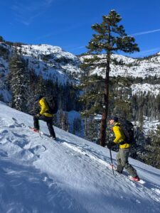
We toured into some of our local Truckee/Tahoe terrain today to assess how our much-anticipated new snow was interacting with our existing snowpack. The day started off brisk: temperatures hovered in the teens at Palisades Base, with clear skies and light winds. We set a skin track out Shirley Canyon, observing a few small point releases along the way, but found no significant signs of natural slab avalanche activity. Along our tour, however, the most consistent sign of something happening was the constant whumpfing sound from the snowpack. This happens when snow settles and it is often not only heard, but also felt underneath. The largest whumpf we heard was accompanied by a tangible drop as the snow layer collapsed, as well as shooting cracks. We were venturing into mellow, low angle terrain, so this released no avalanches but is an excellent indicator of poor stability within our new snowpack.
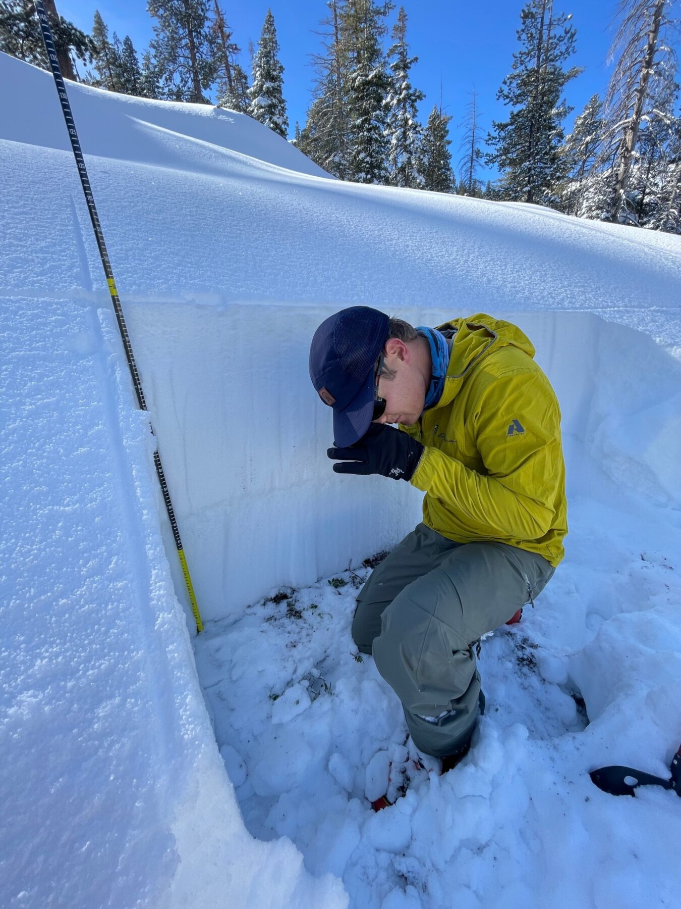
Midway through our tour we dug a snow pit with the goal of visualizing how our new snow was interacting with the existing layers. We found 98cm of snow, with approximately half of that being our new storm snow. This storm snow is sitting on a crust layer which caps the faceted, weak snow that we have had since the start of November. The bottom line is that we now have a relatively cohesive layer sitting on top of a weaker layer–a recipe for avalanches. Performing a couple stability tests on isolated columns of snow in the pit confirmed this hypothesis and showed that our snowpack in this area has the ability to propagate across slopes or around terrain features as well. 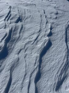
As we continued our tour we continued to hear whumpfing and, at one point, initiated a shooting crack through the snow. Digging in revealed this crack was initiated on the facet layer directly below the crust. Additionally, as we moved out from below treeline and lower elevation terrain, we began to see large evidence of the severe winds experienced during the storm on 12/1/22. On exposed ridge tops we saw scouring, wind sculpting, and substantial windslab development.
Our highpoint from our tour was 7600’, and from here we descended lower angle North facing terrain. High ski quality was found throughout the terrain, though caution was needed considering that we still are working with early season coverage.
The main takeaway from today’s scouting mission is that we are now dealing with poor snowpack structure, and the biggest concern is a new persistent slab problem. This will exist where we had snow prior to the storm, and where that snow faceted and degraded in structure. We also have pockets of windslab that should be taken into consideration when dropping into your chosen line of descent. With more precipitation in the forecast, it will be interesting to see how this problem persists as time goes on. There is fun skiing out there, but be sure to read the avalanche forecast, have a solid plan–and if you don’t know, we encourage you to hire a professional guide.