Gasherbrum II Expedition
Gasherbrum II Rapid Ascent™ Expedition
There are plenty of reasons Gasherbrum II is the perfect 8,000m peak to climb in the Karakoram Range.
To start, the 26,362′/8,034m peak is considered the most tame of the 8,000m peaks in the Karakoram, with reasonable difficulty and limited objective dangers. Secondly, it offers an incredible experience climbing in one of the most remote and rugged mountain ranges in the world in a short time-frame. Using our Rapid Ascent™ technique, we’ll be able to complete the full expedition in almost half the time that it takes a typical expedition. Our 32 Day Itinerary is built to maximize the chances of success while minimizing the time spent away from family and work.
Gasherbrum II Itinerary
- Day 1
- Arrive in Islamabad
After arriving in Islamabad (1,770′), our team will meet you at the airport and transport you to our hotel. We’ll get some much needed rest and start to get over our jet lag.
Activity: Arrive in Islamabad, Pakistan
Lodging: Hotel TBD
Sleeping Elevation: 1,770′
Meals: None - Day 2
- Fly to Skardu
Today we’ll leave Islamabad and take a spectacular hour-long flight to the city of Skardu in the Gilgit-Baltistan region.
Activity: Arrive in Islamabad, Pakistan
Lodging: Hotel TBD
Sleeping Elevation: 1,770′
Meals: None - Day 3
- Explore Skardu
Skardu serves as the Capital of the Skardu region, and is a beautiful city with a rich history. The city has bustling bazaars and rustic stores to explore.
Activity: Arrive in Islamabad, Pakistan
Lodging: Hotel TBD
Sleeping Elevation: 1,770′
Meals: None - Day 4
- Drive to Aksole
Heading out from Skardu in jeeps, we’ll drive 6-8 hours through the Shigar valley to the village of Askole.
Activity: Arrive in Islamabad, Pakistan
Lodging: Hotel TBD
Sleeping Elevation: 1,770′
Meals: None - Day 5
- Drive to Joula Camp
Heading out from Skardu in jeeps, we’ll drive 6-8 hours through the Shigar valley to the village of Askole.
Activity: Arrive in Islamabad, Pakistan
Lodging: Hotel TBD
Sleeping Elevation: 1,770′
Meals: None - Days 6-7
- Trek to Paiju and Rest
We’ll start bright and early on the trail that winds along the Braldu River. As we trek, we’ll get glimpses of the Masherbrum range to the south. Made up of 7,000m (23,000’+) peaks, the Masherbrum range will give us our first real taste of the magnitude of the mountain range that we are traveling in. Arriving at the end of our trekking for the day and settling down beneath the granite spire of Paiju Peak (21,600’/6,600m), we’ll get our first views of the mighty Baltoro Glacier. The day’s trek will be 10 miles and should take us 6-8 hours. We’ll spend the following day resting and acclimatizing in Paiju camp before pushing farther up the valley.
Activity: Trek to Paiju Camp & Rest
Distance Covered: 10 Miles
Moving Hours: 7-8 Hours
Elevation Gain/Loss: +600’
Sleeping Elevation: 11,100’
Lodging: Paiju Camp
Meals: Breakfast, Lunch & Dinner - Day 8
- Trek to Urdukas Camp
Today will be a long but rewarding day of trekking. Working our way across the Baltoro Glacier, we’ll weave our way through the constantly changing glacial moraines to the south side of the glacier and continue along the side of the valley. As we trek, we’ll be met with incredible views of the Trango Towers (20,000’/6,300m), Cathedral Towers (19,700’/6,000m), and Uli Biaho Tower (21,600’/6,100m).
Continuing our way up-valley, we’ll gain nearly 2,500’/762m of elevation and trek more than 12 miles to reach Urdukas Camp (13,600’/4,145m). Nestled on terraces that were carved out by the 1909 K2 Expedition led by the Duke of the Abruzzi, this unique campsite will leave us breathless with both beauty and effort.
Activity: Trek to Urdukas Camp
Distance Covered: 12 Miles
Moving Hours: 10-11 Hours
Elevation Gain/Loss: +2,500’/762m
Sleeping Elevation: 13,600’
Lodging: Urdukas Camp
Meals: Breakfast, Lunch & Dinner - Day 9
- Trek to Goro II Camp
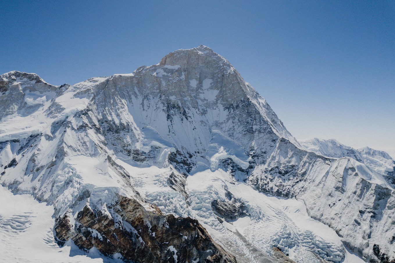
Making our way once again onto the spine of the Baltoro Glacier, we’ll climb and descend the many glacial moraines for 7-8 hours as we head for our camp for the evening, Goro II. Incredible views of Gasherbrum IV (26,001’/7,900m) and Broad Peak (26,414’/8,047m) will beckon us towards the head of the glacier and the 8,000m peaks that rise above as we work towards camp. Arriving at Goro II (14,100’/4,298m), we’ll make camp within the ice-field and prepare to head into the heart of Karakoram in the morning.
Activity: Trek to Goro II
Distance Covered: 7 Miles
Moving Hours: 6-7 Hours
Elevation Gain/Loss: 500’
Sleeping Elevation: 14,100
Lodging: Goro II Camp
Meals: Breakfast, Lunch & Dinner - Day 10
- Trek to Concordia or Shoma Camp
Today we’ll be trekking into one of the most beautiful and awe inspiring mountain scenes to be found throughout the world. We’ll pass under Mitre Peak (19,200’/6,000m) on our way to the famous Concordia camp (15,000’/4,572m) that rests at the convergence of the Baltoro and Godwin Austen Glaciers. If the team is feeling strong, we’ll continue past Concordia to Shoma Camp.
The Karakoram holds the highest concentration of 7,000m+ peaks anywhere in the world, and Concordia serves as the ideal camp for exploring these peaks as glaciers leading from K2, The Gasherbrum, and Chogolisa all converge here. We’ll push past Concordia to Shoma Camp, halfway to G2 base Camp where we’ll spend our evening soaking in these spectacular views.
Activity: Trek to Shoma Camp
Distance Covered: 9 miles
Moving Hours: 6-7 hours
Elevation Gain/Loss: +1,100’/335m
Sleeping Elevation: 15,000’/4,572m
Lodging: Shoma Camp
Meals: Breakfast, Lunch & Dinner - Day 11
- Trek to G2 Base Camp
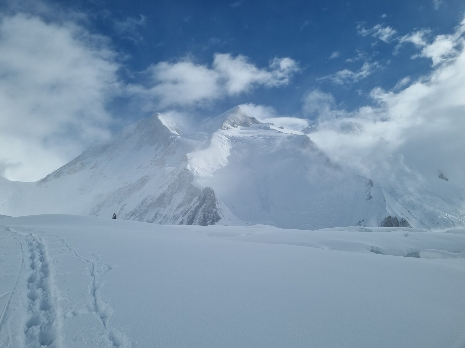
Leaving Concordia or Shoma and trekking along the eastern side of the Baltoro Glacier, we’ll spend the day hiking underneath the Gasherbrum group on our way to G2. Base camp rests at the convergence of the Baltoro and Abruzzi Glaciers, with excellent views of Baltoro Kangri (23,990’/7,312m), G1 (26,300’/8,080m), and G2 (26,300’/8,034m). We’ll settle into G2 base camp (16,900’/5,151m) after trekking 7 miles over 7-8 hours and gaining nearly 1,900’/579m.
Activity: Trek to G2 Base Camp
Distance Covered: 4 Miles
Moving Hours: 5-6 Hours
Elevation Gain/Loss: +1,900’/579m
Sleeping Elevation: 16,900’/5,151m
Lodging: G2 Base Camp
Meals: Breakfast, Lunch & Dinner - Days 12-13
- Rest Days in G2 Base Camp
Acclimatize and rest in G2 Base Camp.
Activity: Rest Day
Sleeping Elevation: 16,900’/5,151m
Lodging: G2 Base Camp
Meals: Breakfast, Lunch & Dinner - Day 14
- Climb to C1
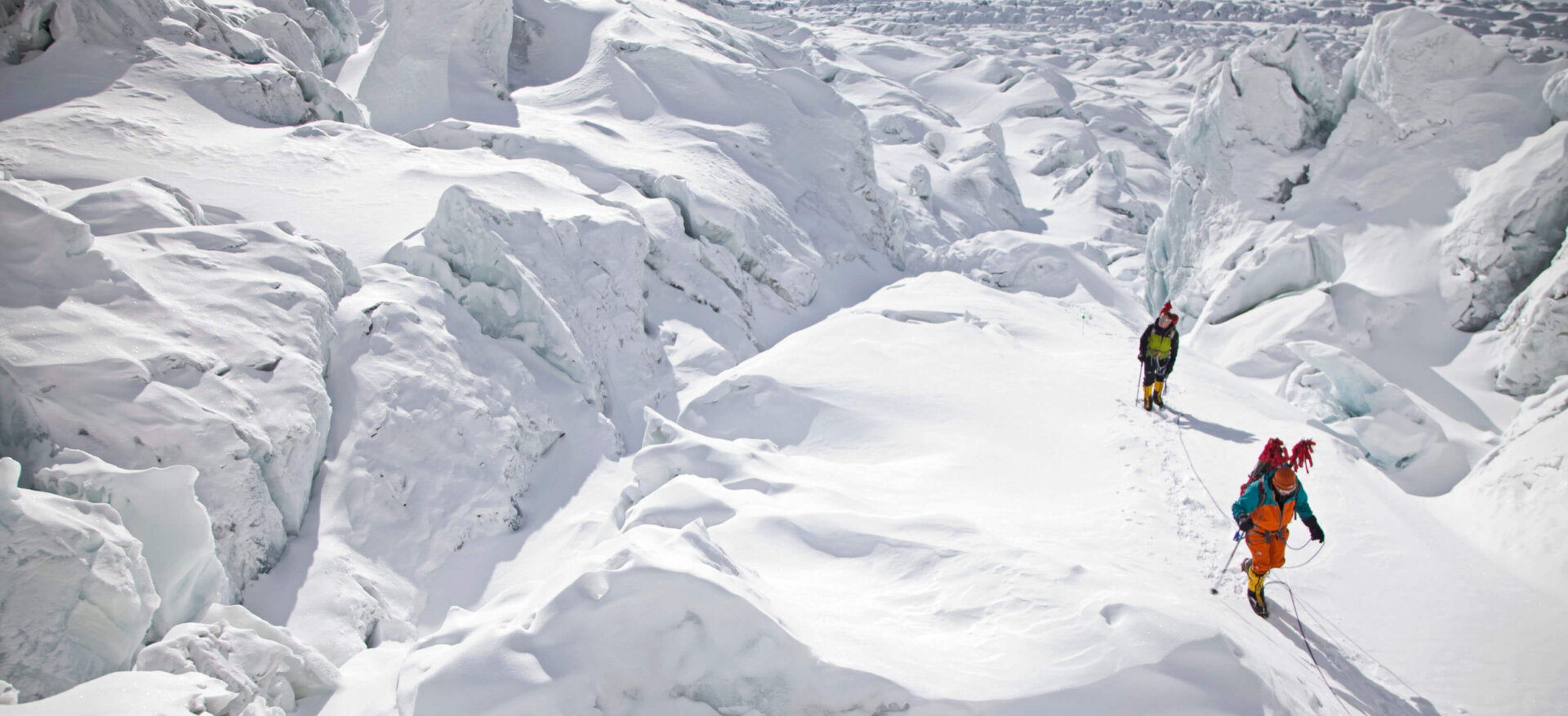
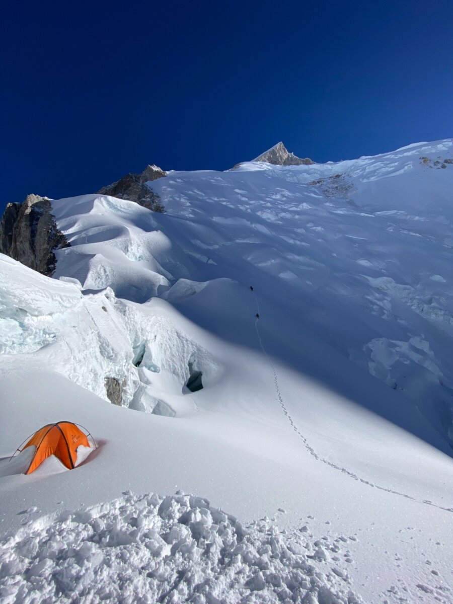
After the last two days of rest and acclimatization at Base Camp, we’ll start our acclimatization rotation by climbing through the Icefall formed by the Gasherbrum Glacier. We’ll start early in the morning when the ice is most stable and move quickly before the sun starts to warm the Glacier. While this Icefall is not nearly as large or as treacherous as the Khumbu Icefall on the south side of Mt. Everest, there will be some steep sections that will require fixed ropes. Having pre-acclimatized, we’ll climb 2,600’/792m in 5-6 hours and find C1 at the foot of the Southwest Ridge.
Activity: Climb to C1
Distance Covered: 5 miles
Moving Hours: 5-6 hours
Elevation Gain/Loss: +2,600’/792m
Sleeping Elevation: 19,500’/5,943m
Lodging: Camp 1
Meals: Breakfast, Lunch & Dinner - Day 15
- Climb to C2, Return to C1
After spending the night at C1, we’ll be ready to start our climb to C2. We’ll start up the steep snow and ice slope to the “Banana Ridge”. Following the fixed lines up and taking the path of least resistance, the route will alternate between the ridge and the snow face. While the route is not overly technical, it is steep, and we’ll gain altitude quickly as we move up the fixed lines. After 3-4 hours of climbing and gaining 1,600’/488m we’ll arrive at C2 placed on a sheltered ledge at 21,100’/6,400. We’ll then return back the way we came, following fixed lines back down the Banana Ridge to C1.
Activity: Climb to C2, return to C1
Distance Covered: 0.5 miles
Moving Hours: 3-4 hours
Elevation Gain/Loss: +1,600’/488m
Sleeping Elevation: 19,500’/5,943m
Lodging: Camp 1
Meals: Breakfast, Lunch & Dinner - Day 16
- Descend to BC
An early morning will see us move once more through the Icefall to Base Camp to finish off our acclimatization rotation. Today’s trek back to Base Camp.
Activity: Descend to Base Camp
Distance Covered: 5 miles
Moving Hours: 5-6 hours
Elevation Gain/Loss: -4,200’/1,280m
Sleeping Elevation: 16,900’/5,151m
Lodging: Base Camp
Meals: Breakfast, Lunch & Dinner - Days 17-19
- Rest Days in BC
We’ll spend the next 3 days resting in Base Camp, as we prepare for our summit bid.
Activity: Rest day in Base Camp
Sleeping Elevation: 16,900/5,151m
Lodging: Base Camp
Meals: Breakfast, Lunch & Dinner - Day 20
- Climb to C1
After spending the previous days resting our bodies at base camp, we’ll start our summit bid by climbing through the Icefall to C1 once again. Getting an early start and moving quickly through familiar terrain, our third time passing through the Icefall will only take us 4-5 hours. We’ll arrive at C1 after climbing 2,600’/792m.
Activity: Climb to C1
Distance Covered: 5 miles
Moving Hours: 4-5 hours
Elevation Gain/Loss: +2,600’/792m
Sleeping Elevation: 19,500’/5,943m
Lodging: Camp 1
Meals: Breakfast, Lunch & Dinner - Day 21
- Climb to C2
In the morning we’ll ascend the Banana Ridge, working our way up the steep slope to C2 for the second time. After 1,600’/488m of elevation gain and 3-4 hours spent climbing, we’ll arrive at C2’s sheltered ledge. We’ll spend the evening resting and preparing to make our way to C3 and our new high point for the climb.
Activity: Climb to C2
Distance Covered: 0.5 miles
Moving Hours: 3-4 hours
Elevation Gain/Loss: +1,600’/488m
Sleeping Elevation: 21,100’/6,400m
Lodging: C2
Meals: Breakfast, Lunch & Dinner - Day 22
- Climb to C3
Leaving C2 in the morning, we’ll once again be exploring terrain that is new to our eyes. Our team will be utilizing supplemental oxygen from here on out, keeping us strong and sharp as we move higher up the mountain. The route from C2 to C3 follows fixed lines 2,000’/609m up a snow slope. The route is not as steep and exposed as the Banana Ridge between C1 and C2, but will take us about the same amount of time to complete.
We’ll arrive at C3 after 3-4 hours of climbing. Sitting on a shoulder above the main snow slope beneath the summit pyramid at 23,100’/7,041m, C3 will be our high camp for the climb. The rest of the day will be spent getting some much-needed rest before our final push to the summit of Gasherbrum II the following day.
Activity: Climb to C3
Distance Covered: 0.5 miles
Moving Hours: 3-4 hours
Elevation Gain/Loss: +2,000’/609m
Sleeping Elevation: 23,100’/7,041m
Lodging: C3
Meals: Breakfast, Lunch & Dinner - Day 23
- Summit Day
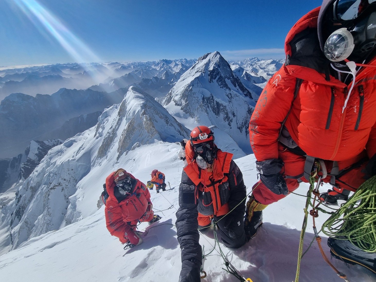
Starting around midnight, the team will set out from C3 on our journey to the summit of the 13th tallest peak on the planet. The route from C3 continues up the snow slope for another 1,300’/396m to the rarely used Camp 4. From here we will make the “Diagonal Traverse” beneath the summit pyramid until we link up with the East Ridge at 25,400’/7,742m. Once we’ve gained the East Ridge, we will make our way up the exposed but magnificent final snow slope to 26,362’/8,034m and the summit of Gasherbrum II.
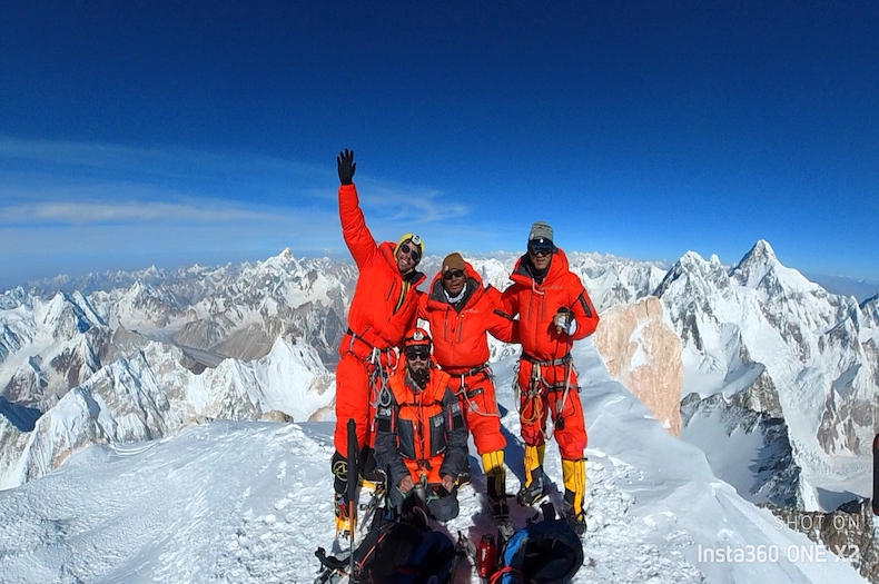
After climbing for 8-10 hours, we’ll be greeted with one of the most spectacular summit views to be found throughout the world, with an incredible vantage of the Gasherbrum Group and the Karakoram. Broad Peak (26,414’/8,051m), and K2 (28,251’/8,611m) will be looming in the distance to the north, and Gasherbrum I (26,509’/8,080m) will rise behind us to the southeast. We’ll spend some time soaking in the hard-earned view before beginning our descent.Leaving the summit, we’ll descend quickly as we retrace our steps all the way to C2. In total, we will have climbed over 3,100’/945m from C3 to the Summit and will have descended 5,600’/1,707m on our way back down to C2. Our full summit day should take between 14-16 hours.
Activity: Summit G2 and Descend to C2
Distance Covered: 1.5 miles
Moving Hours: 14-16 hours
Elevation Gain/Loss: +3,100’/945m, -6,700’/2,042m
Sleeping Elevation: 21,100’/6,400m
Lodging: Camp 2
Meals: Breakfast, Lunch & Dinner - Day 24
- Descend to Base Camp
Today we’ll finish our descent of the mountain, working down the banana ridge and making our fourth and final pass through the Icefall back to base camp. It will take us 4-5 hours as we descend the remaining 2,600’/792m to base camp.
Activity: Descend to Base Camp
Distance Covered: 5 miles
Moving Hours: 4-5 hours
Elevation Gain/Loss: -2,600’/792m
Sleeping Elevation: 16,900’/5,151m
Lodging: Base Camp
Meals: Breakfast, Lunch & Dinner - Days 25-28
- Extra Summit Days
These extra days can be used in case the team, the weather, or other variables require additional time to make a summit push. We’ve seen early and late weather windows that are suitable for a summit push, these extra days give us flexibility in the planning of our summit push.
- Day 29
- BC to Ali Camp
We’ll wake up and enjoy the sunrise over G2 one last time before packing up camp and starting our trek out of the Karakoram. We’ll be taking the Gondogoro Pass as our exit from the Karakoram.
The Gondogoro Pass is the fastest way to exit the Karakoram on foot and gives our team the chance to experience new terrain as they complete the loop to Skardu. It will also give the team a final taste of excitement as it is a technical pass that requires a steep snow climb and a rocky descent. Today we’ll trek to Ali Camp at the base of the pass and get some rest before an early start the next day.
Activity: Trek to Ali Camp
Distance Covered: 5 miles
Moving Hours: 5-6 hours
Elevation Gain/Loss: -1000’/305m
Sleeping Elevation: 15,300’/4,663m
Lodging: Ali Camp
Meals: Breakfast, Lunch & Dinner - Day 30
- Ali Camp to Khuspang
An Alpine Start will see us climbing the steep snow face to the col of the pass as the sun rises. The climb is stunning, engaging, and high, as the pass tops out at 18,300’/5,500m.
The descent trail is loose and a little complicated, but we’ll move through it quickly and find ourselves on the far side of the pass by mid-day. We’ll stop here for the day and rest for the remaining trek out the following day.Activity: Trek to Khuspang Camp
Distance Covered: 0.5 miles
Moving Hours: 10-12 hours
Elevation Gain/Loss: +3,000’/914m, 5,000’/1,524m
Sleeping Elevation: 14,000’/4,267m
Lodging: Khuspang Camp
Meals: Breakfast, Lunch & Dinner - Day 31
- Khuspang to Saitcho
An easier day will see us trek out to the village of Saitcho, where we’ll spend our final night in the mountains.
Activity: Trek to Saitcho
Distance Covered: 5 miles
Moving Hours: 6-7 hours
Elevation Gain/Loss: -2,500’/762m
Sleeping Elevation: 11,500’/3,505m
Lodging: Saitcho
Meals: Breakfast, Lunch & Dinner - Day 32
- Saitcho to Skardu
A short trek in the morning will see us arrive at the trailhead, where we’ll be picked up in Jeeps and driven back to Skardu. This drive to Skardu takes a better-paved road and will be much easier than if we were driving from Askole. We’ll arrive back in Skardu and get some much-needed rest after our exit from the mountains.
Activity: Drive to Skardu
Sleeping Elevation: 7,100/2,164m
Lodging: Hotel in Skardu
Meals: Breakfast, Lunch & Dinner - Day 33
- Skardu to Islamabad
Today we’ll wrap up our trip by flying from Skardu to Islamabad. We’ll say our goodbyes and prepare to head home from Pakistan. If we are not able to fly from Skardu, we’ll start our return journey driving along the Karakoram Highway.
Activity: Fly to Islamabad or Drive to Chilas
Moving Hours: 1 hr flight, 6-7 hrs driving
Elevation Gain/Loss: – 5,600’/1,707m
Sleeping Elevation: 1,700’/518m
Lodging: Hotel Marriott
Meals: Breakfast - Day 34
- Extra Day in Islamabad
We’ve built-in an extra day in Islamabad in case we are not able to fly from Skardu to Islamabad and are taking this day to finish the drive along the Karakoram Highway.
- Day 35
- Fly Home
Today we’ll depart Islamabad for home.
- GASHERBRUM I EXTENSION
- Days 25-27
- Rest Days in BC
After our successful summit of G2, we’ll spend the next few days resting in Base Camp and preparing for our ascent of Gasherbrum I.
Activity: Rest Day
Sleeping Elevation: 16,900’/5,151m
Lodging: G2 Base Camp
Meals: Breakfast, Lunch & Dinner - Day 28
- Climb to C1
G2 and G1 share a Camp 1, so this climb will now be quite familiar, as we return to Camp 1 to start our summit bid on G1. We’ll make quick work of the ice fall, starting early in the morning and arriving to C1 by early morning.
Activity: Climb to C1
Distance Covered: 5 miles
Moving Hours: 4-5 hours
Elevation Gain/Loss: +2,600’/792m
Sleeping Elevation: 19,500’/5,943m
Lodging: Camp 1
Meals: Breakfast, Lunch & Dinner - Day 29
- Climb to C2
We’ll take off from C1 in the direction of the Col that splits G1 and G2. Camp 2, situated at 21,300’/6,492m, lies right before a steep section of climbing and a couloir known as the “Japanese Couloir”. We’ll also start this climb early in the morning so that we reach the col before the sun rises too high in the sky and it gets too hot to climb.
Activity: Climb to C2
Distance Covered: 2.5 Miles
Moving Hours: 7-8 Hours
Elevation Gain/Loss: +1,800’/549m
Sleeping Elevation: 21,300’/6,492m
Lodging: Camp 2
Meals: Breakfast & Dinner - Day 30
- Climb to C3
The climb to C3 is incredibly engaging and fun. We’ll start by ascending the Japanese Couloir, a steep snow ramp that will take us up several hundred meters until we reach a platform atop a rocky spur.
Depending on the season, Camp 3 will either be placed here around 7,000m or a bit further up the snow ramp to a wider, more comfortable camp at 7,100m. We’ll settle in, eat some food, and then head to bed so that we can wake up early to start our summit bid.
Activity: Climb to C3
Distance Covered: 12 Miles
Moving Hours: 10-11 Hours
Elevation Gain/Loss: +2,000’/607m
Sleeping Elevation: 23,300’/7,102m
Lodging: Camp 3
Meals: Breakfast, Lunch & Dinner - Day 31
- Summit Day
The summit of Gasherbrum I is not easily reached. An early alpine start will see us climbing steep snow faces throughout the night as we slowly work our way toward the summit. The ascent is more direct than G2’s, but significantly more difficult.
Depending on the snow conditions, we’ll push toward the saddle and around to the summit ridge or charge straight to the summit ridge. Once we’ve made the ridge, we’ll continue a short way on a knife-edge ridge to the highest point on the 11th tallest peak on the planet. Standing at 26,510’/8,080m, we’ll take some summit photos and have a short celebration before starting our descent.
We’ll descend to C2 before calling it a day. Having climbed ~3,500’/1,067m and descending 5,200/1,585m, our heads will hit the pillow exhausted but incredibly stoked having reached the summit of one of the most stunning peaks on the planet.
Activity: Summit G1 and Descend to C2
Distance Covered: 1.5 miles
Moving Hours: 14-16 hours
Elevation Gain/Loss: +3,500’/1,067m, 5,200/1,585m
Sleeping Elevation: 21,300’/6,492m
Lodging: Camp 2
Meals: Breakfast, Lunch & Dinner - Day 32
- Descend to BC
One last day of moving on the Gasherbrum Mountains will see us descend from the Gasherbrum Col, back through camp one, and through the icefall a final time. This early morning will be difficult after a long summit day, but we’ll arrive back in Base Camp and have hot food, a warm shower, and a celebration waiting for us. This day marks the end of our climbing, having reached the summits of two 8,000m peaks in just 30 days.
Activity: Descend to Base Camp
Distance Covered: 5 miles
Moving Hours: 4-5 hours
Elevation Gain/Loss: -2,600’/792m
Sleeping Elevation: 16,900’/5,151m
Lodging: Base Camp
Meals: Breakfast, Lunch & Dinner - Day 33-37
- Extra Days
These extra days are put in place to account for any delays along the way, either with G2 or G1.
- Day 38
- Rest Day in BC
We’ll use the day after our summit bid to rest in camp and pack up our personal belongings for the trek out of the Karakoram.
Activity: Rest day in Base Camp
Sleeping Elevation: 16,900/5,151m
Lodging: Base Camp
Meals: Breakfast, Lunch & Dinner - Day 39
- BC to Ali Camp
We’ll wake up and enjoy the sunrise over the two mountains we’ve just summited one last time before packing up camp and starting our trek out of the Karakoram. We’ll be taking the Gondogoro Pass as our exit from the Karakoram.
The Gondogoro Pass is the fastest way to exit the Karakoram on foot and gives our team the chance to experience new terrain as they complete the loop to Skardu. It will also give the team a final taste of excitement as it is a technical pass that requires a steep snow climb and a rocky descent. Today we’ll trek to Ali Camp at the base of the pass and get some rest before an early start the next day.
Activity: Trek to Ali Camp
Distance Covered: 5 miles
Moving Hours: 5-6 hours
Elevation Gain/Loss: -1000’/305m
Sleeping Elevation: 15,300’/4,663m
Lodging: Ali Camp
Meals: Breakfast, Lunch & Dinner - Day 40
- Ali Camp to Khuspang
An Alpine Start will see us climbing the steep snow face to the col of the pass as the sun rises. The climb is stunning, engaging, and high, as the pass tops out at 18,300’/5,500m’.
The descent trail is loose and a little complicated, but we’ll move through it quickly and find ourselves on the far side of the pass by mid-day. We’ll stop here for the day and rest for the remaining trek out the following day.Activity: Trek to Khuspang Camp
Distance Covered: 0.5 miles
Moving Hours: 10-12 hours
Elevation Gain/Loss: +3,000’/914m, 5,000’/1,524m
Sleeping Elevation: 14,000’/4,267m
Lodging: Khuspang Camp
Meals: Breakfast, Lunch & Dinner - Day 41
- Khuspang to Saitcho
An easier day will see us trek out to the village of Saitcho, where we’ll spend our final night in the mountains.
Activity: Trek to Saitcho
Distance Covered: 5 miles
Moving Hours: 6-7 hours
Elevation Gain/Loss: -2,500’/762m
Sleeping Elevation: 11,500’/3,505m
Lodging: Saitcho
Meals: Breakfast, Lunch & Dinner - Day 42
- Saitcho to Skardu
A short trek in the morning will see us arrive at the trailhead, where we’ll be picked up in Jeeps and driven back to Skardu. This drive to Skardu takes a better-paved road and will be much easier than if we were driving from Aksoli. We’ll arrive back in Skardu and get some much-needed rest after our exit from the mountains.
Activity: Drive to Skardu
Sleeping Elevation: 7,100/2,164m
Lodging: Hotel in Skardu
Meals: Breakfast, Lunch & Dinner - Day 45
- Skardu to Islamabad
Today we’ll wrap up our trip by flying from Skardu to Islamabad. We’ll say our goodbyes and prepare to head home from Pakistan. If we are not able to fly from Skardu, we’ll start our return journey driving along the Karakoram Highway.
Activity: Fly to Islamabad or Drive to Chilas
Moving Hours: 1 hr flight, 6-7 hrs driving
Elevation Gain/Loss: – 5,600’/1,707m
Sleeping Elevation: 1,700’/518m
Lodging: Hotel Marriott
Meals: Breakfast - Day 46
- Extra Day in Islamabad
We’ve built-in an extra day in Islamabad in case we are not able to fly from Skardu to Islamabad and are taking this day to finish the drive along the Karakoram Highway.
- Day 45
- Depart for Home
Today we’ll depart Islamabad for home.
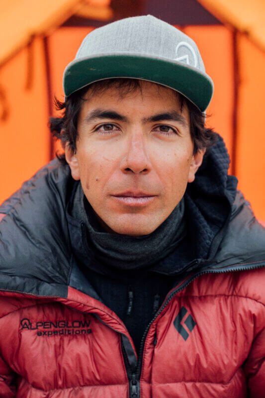
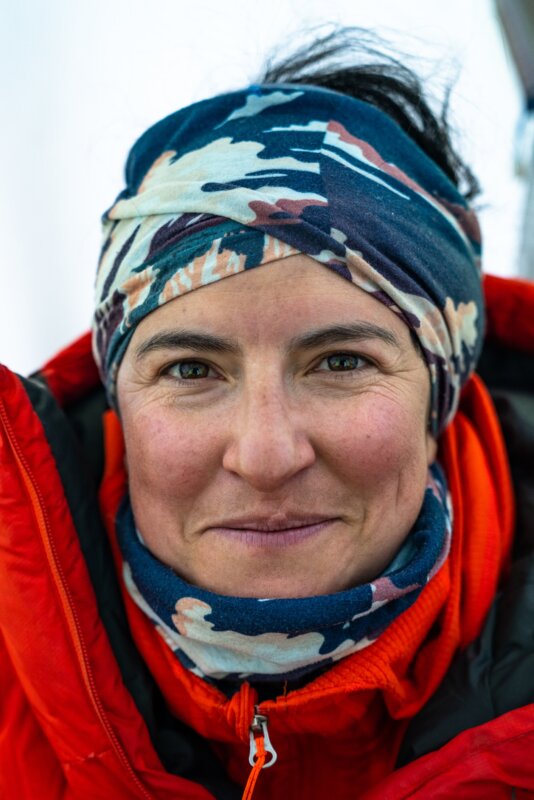
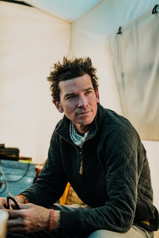
Our Gasherbrum II Guides
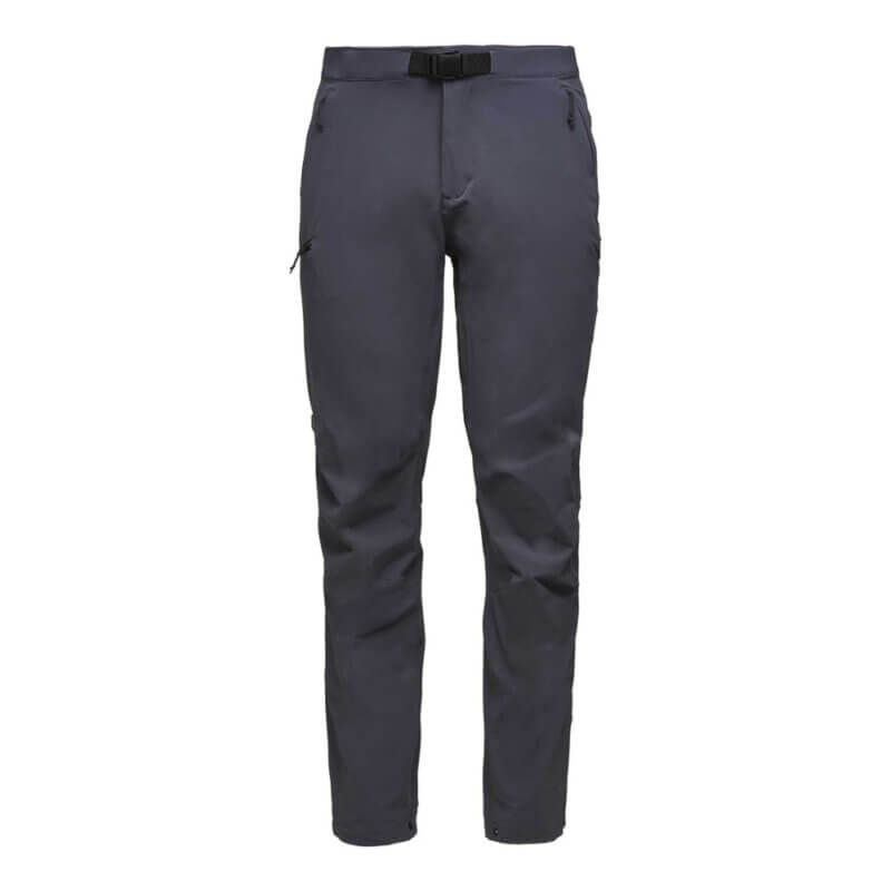
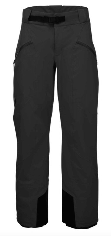
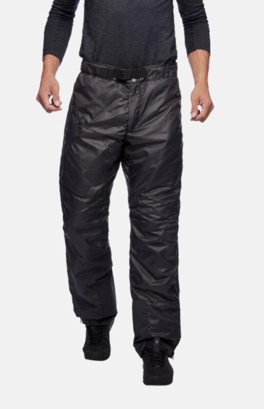
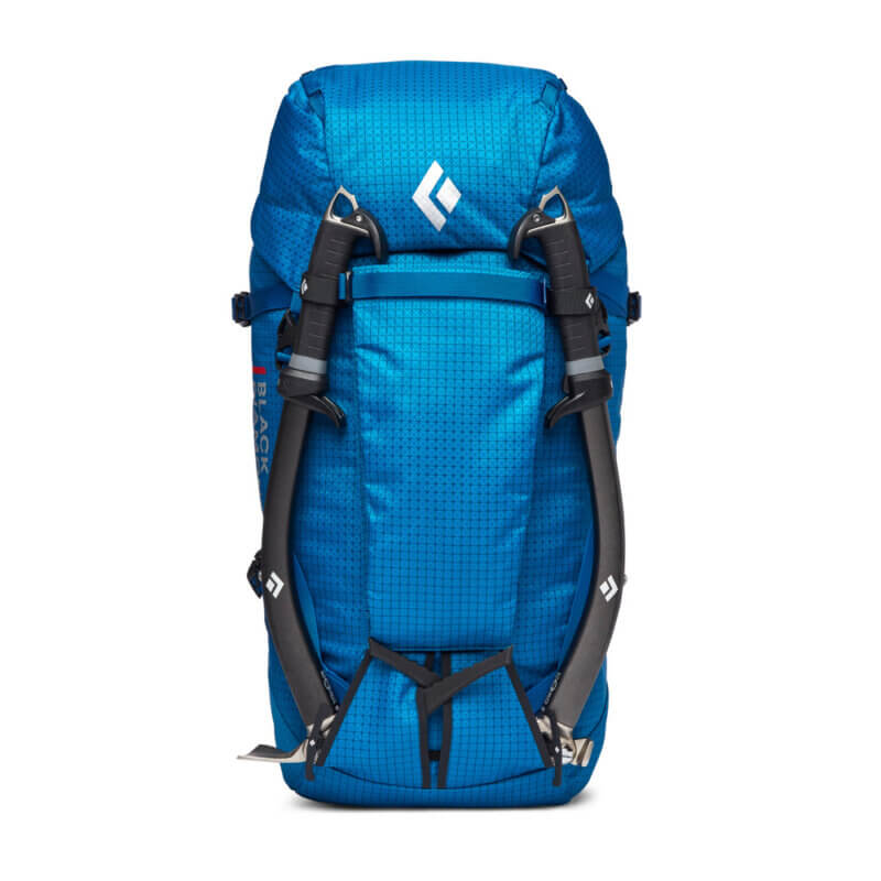
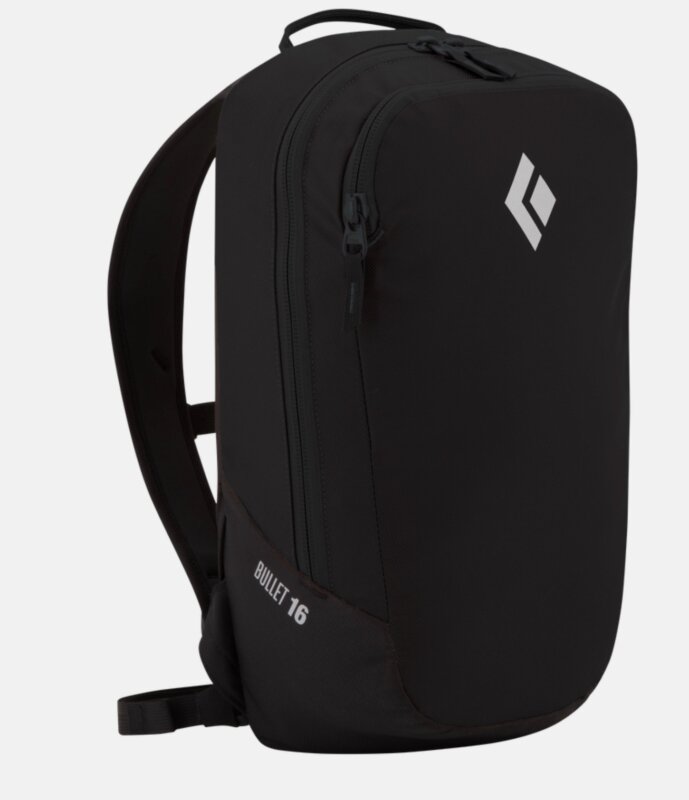
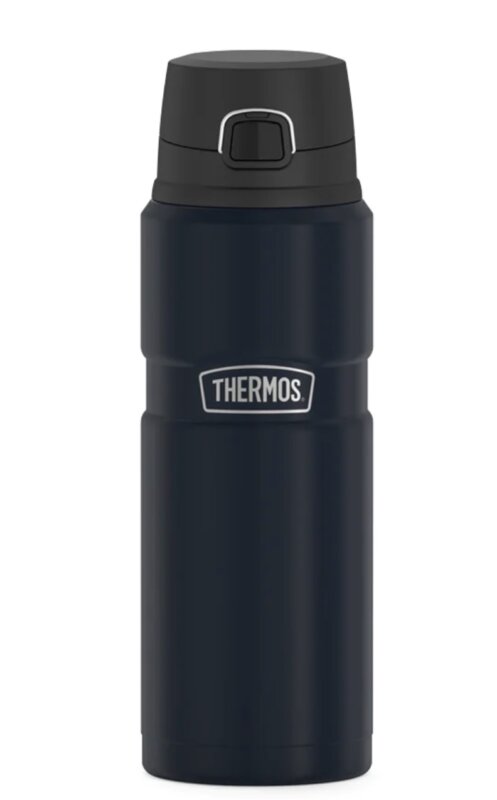
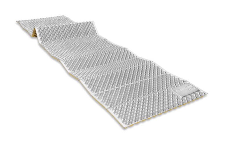
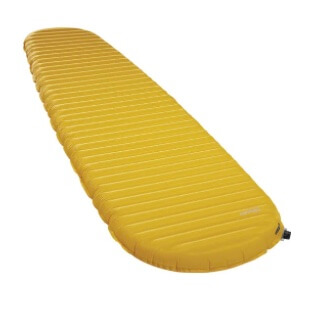
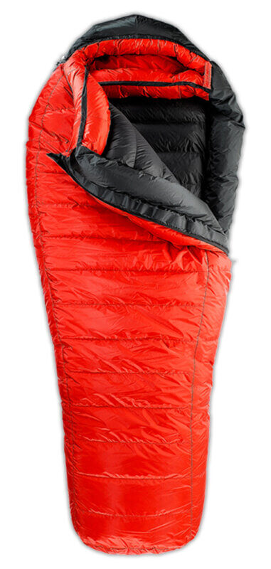
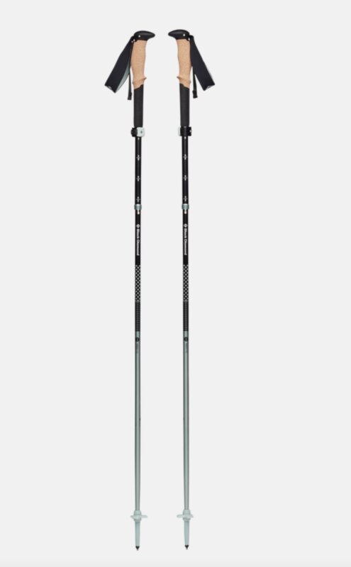
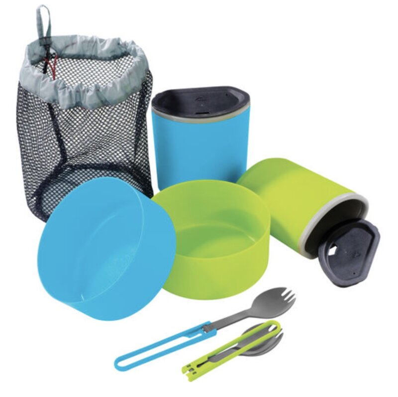
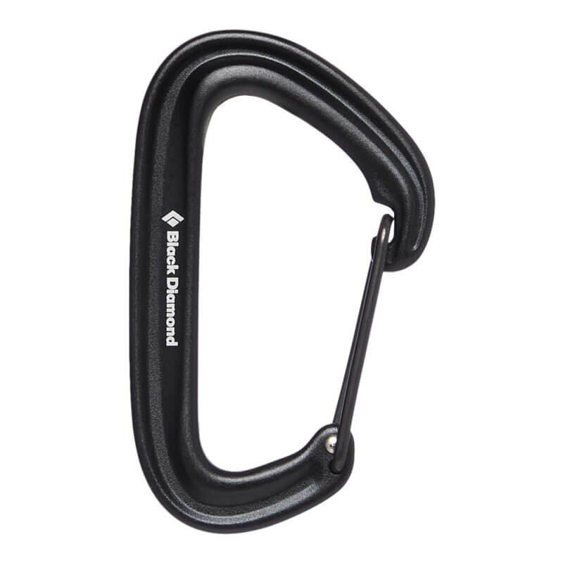
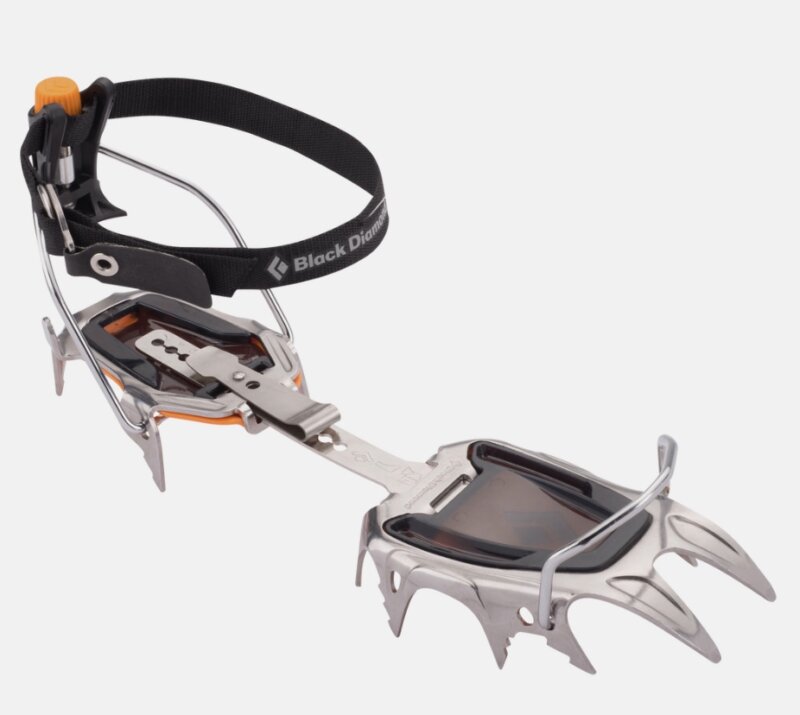
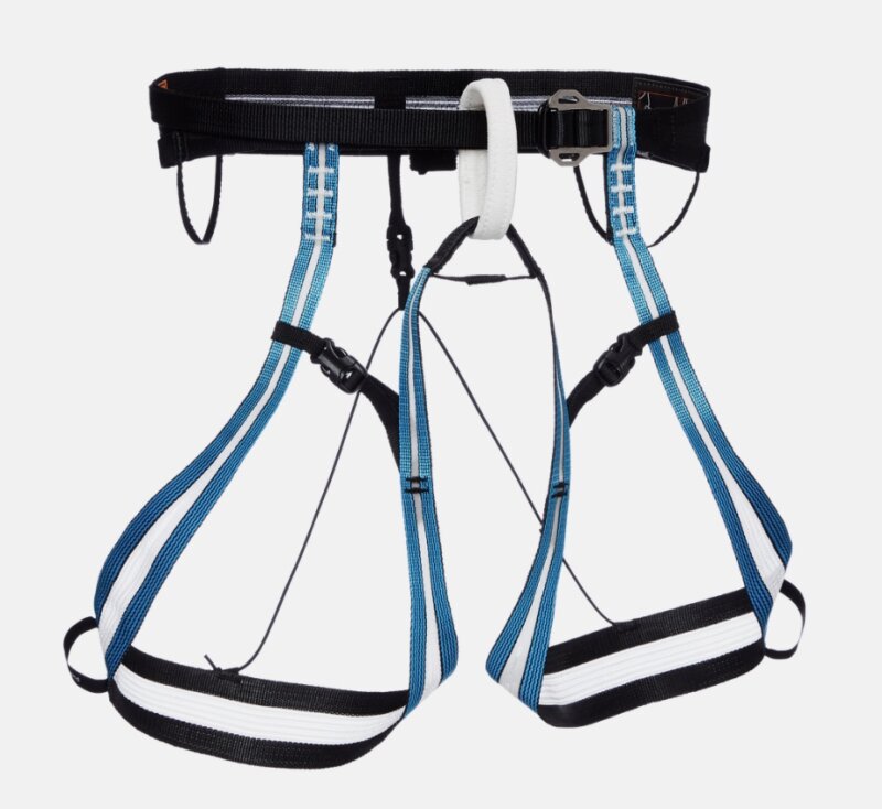
Gasherbrum II Equipment List


Gasherbrum II Questions
 63.0692° N, 151.0070° W
Looking Forward.
- 27.7172° N, 85.3240° E
- 28.099722°N , 86.66°E
Blogs About Pakistan
Comparing Acclimatization Approaches in the Andes, Himalaya, and Pamirs: How Alpenglow Expeditions Tailors Its Programs for Success
When it comes to climbing high-altitude peaks around the world, how you acclimatize can make or break an expedition. The Andes, Himalaya, and Pamir ranges each present unique challenges based on altitude, terrain, and logistics — and acclimatizing properly to these environments requires an approach that fits the mountain, not a one-size-fits-all plan.Read the story
“Give Yourself the Time”: Graduating from Trekking to Climbing with Topo Mena
While ‘walking’ may sound trivial, a number of big mountains involve a lot of walking, albeit in extreme places. To talk about the journey, we connected with IFMGA-certified Alpenglow guide Esteban ‘Topo’ Mena about graduating from trekking to climbing. For beginners, he had this advice to offer: “At first, it’s important to give yourself the time to walk in the mountains and appreciate the land and the opportunity to just be there.”Read the story
Five Expeditions Before Climbing Everest with Topo Mena
Now that Everest season is in full swing, this week we connected with IFMGA-certified Alpenglow guide Esteban ‘Topo’ Mena to talk about five expeditions that are perfect for building the experience necessary to climb the tallest mountain in the world.Read the story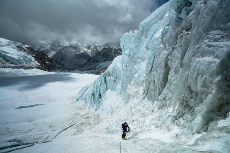
Why Hire an IFMGA-Certified Guide for Climbing 8000-Meter Peaks?
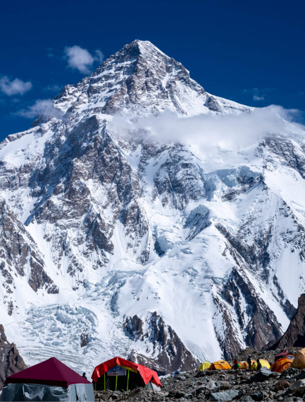
In high altitude environments, having a skilled and experienced guide is not just beneficial: it’s crucial for ensuring safety and success. This is where the International Federation of Mountain Guides Associations (IFMGA) certification comes into play, providing assurance and expertise to stack every card in your favor while climbing at 8,000 meters.Read the storyGasherbrum II Route
Gasherbrum II is the perfect 8,000m peak to climb in the Karakoram Range, here is how our Rapid Ascent Expedition’s climbing route.Read the story
